 |
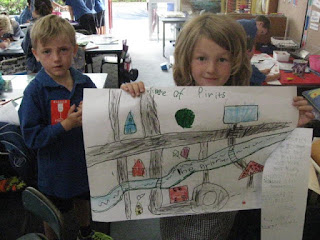
| Can you see the bridge going over the river? |
 |
| Where do you think the swimming pool is? |
 |
| There is lots of detail in this map. |
 |
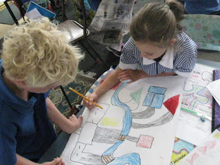
| It was easier to work with our buddies. We shared the workload. |
 |
| Wow! Look at the amazing roundabout on this map |
 |
| There are lots of buildings on this map. It looks easy to find your way around. |
 |
| There's a really wide river in the middle of our village. |
 |
| We had to label the river and give our village a name. |
 |
| This looks complete. All it needs is the key now. After we had done the key for our map, then we had to measure distance using beans. |
No comments:
Post a Comment